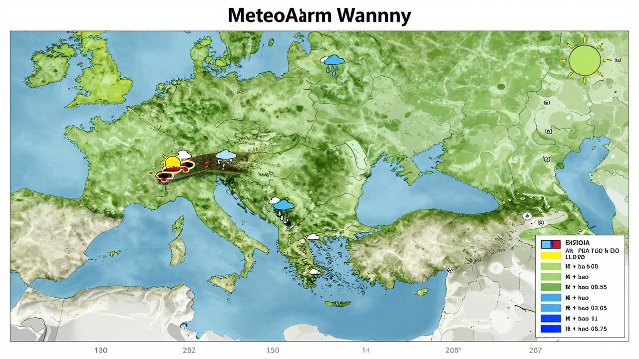
Meteorologists have activated a MetAlert to warn the public of the changing weather conditions expected in the coming days. This precautionary measure reflects anticipated disruptions in the atmosphere over the Adriatic region.
The key development for the end of the day is the passage of an atmospheric front over the Adriatic Sea during the night. This front represents the boundary between different air masses and is the primary cause of the anticipated changes, including the possibility of precipitation and temperature fluctuations.
Although the weather is set to warm up and become hot, the stability observed in the previous week will not continue. Atmospheric conditions will be more dynamic, meaning sunny days will be interspersed with periods of instability, unlike the calmer weather that characterised the start of the week.
Rain is not expected to be widespread or continuous; rather, showers will be limited to specific locations. The most likely occurrence is on the transition from Monday to Tuesday, when frontal activity will be most pronounced.
Instability will continue later in the week, with forecasts indicating showers that will affect specific areas on Friday. The public is advised to exercise caution when planning outdoor activities, given that weather conditions can change rapidly.